Introduction
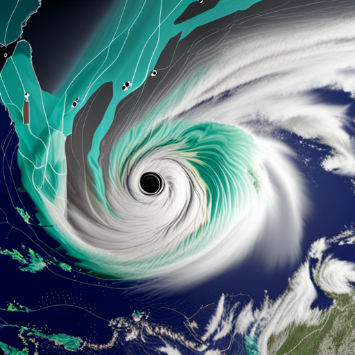
Tropical Storm Beryl has rapidly intensified into a formidable hurricane, capturing the attention of meteorologists and residents across the Caribbean and beyond. As the first major hurricane of the 2024 Atlantic storm season, Beryl’s development and trajectory have been closely monitored, with significant implications for the affected regions. This blog post provides a detailed account of Hurricane Beryl’s progression, impact, and the preparations underway to mitigate its effects.
Formation and Early Development
Beryl began as a tropical storm late Friday, with sustained winds reaching 39 miles per hour. By early Saturday, the storm had strengthened, with sustained winds of 50 miles per hour and higher gusts. This rapid intensification was unusual for a storm forming so far east in the Atlantic during June, a fact highlighted by John Cangialosi, a forecaster with the National Hurricane Center.
Intensification into a Hurricane
By Sunday night, Beryl had escalated into an “extremely dangerous” Category 4 hurricane, with sustained wind speeds of 130 miles per hour. The National Hurricane Center issued hurricane warnings for several Caribbean islands, including Barbados, St. Lucia, Grenada, St. Vincent and the Grenadines, and Tobago. Tropical storm warnings were also in effect for Martinique and Trinidad, while a tropical storm watch was issued for Dominica, the south coast of the Dominican Republic, and the south coast of Haiti.
Impact on the Caribbean
As Beryl approached the Windward Islands, forecasters warned of life-threatening winds, storm surges, and heavy rainfall. The hurricane was expected to bring significant destruction, with the potential for power outages, flash flooding, and coastal damage. The eye of the hurricane was predicted to pass about 26 miles south of Barbados, prompting the island’s meteorological service to issue urgent warnings (Barbados Meteorological Service).
Historical Significance
Beryl’s formation and rapid intensification have made it a notable event in the history of Atlantic hurricanes. It is the easternmost hurricane and the earliest Category 4 hurricane to form in the tropical Atlantic during June. This rapid development from a tropical depression to a major hurricane within 24 hours is a rare occurrence, underscoring the storm’s intensity and the challenges it poses (NOAA).
Preparations and Warnings
Residents of the affected islands were urged to complete their preparations as soon as possible. The National Hurricane Center emphasized the importance of having hurricane plans ready and staying updated on the storm’s forecast. The potential for devastating wind damage, storm surges, and flooding was high, particularly in areas directly in the path of Beryl’s eyewall.
Current Status and Forecast
As of the latest updates, Beryl was moving northwest at around 18 miles per hour, with its center expected to move across the Windward Islands early Monday. The hurricane’s impacts, including heavy rain, high surf, coastal flooding, and strong winds, were anticipated to spread beyond its forecast path, affecting a wide area (National Weather Service).
Conclusion
Hurricane Beryl’s rapid intensification and potential for widespread destruction have made it a significant event in the 2024 Atlantic hurricane season. As the Caribbean braces for impact, the importance of timely preparations and adherence to safety warnings cannot be overstated. The coming days will reveal the full extent of Beryl’s impact, but the proactive measures taken by residents and authorities will undoubtedly play a crucial role in mitigating the storm’s effects.Stay tuned for further updates on Hurricane Beryl as we continue to monitor its progression and impact on the Caribbean and surrounding regions.


